Geospatial Surveying, Engineering & Construction Services
Our History
Construction Technological Services (CTS) was established in 1994 by our founder and former Managing Director, Mr. D.M. Thilakarathne. Initially, Mr. Thilakarathne founded CTS to provide specialist engineering survey-related services to clients in the private and public sectors. In 2013 we developed a strong relationship with the public sector in their irrigation engineering projects.
Subsequently, the company was involved in the engineering survey and design aspects. As a result, CTS has adopted the most advanced technologies in engineering surveys and strengthened its human resources with the most experienced and capable workforce.
Being involved in such nationally significant projects meant that interest in our company and the services we offer expanded substantially, enabling us to become the multi-disciplined engineering consultancy we are today.
The growth and success of CTS is driven by an absolute focus on two groups of people; our clients and our employees. We intend to form long-standing partnerships with our clients, supporting them with industry-leading solutions to their problems and an unrivaled level of service. In addition, we recruit the best people in our industry, support them in developing their skills and encourage them to grow with the business.
test
Construction Technological Services
Our Strengths
25
Years in Business
80
Projects Completed
50
Satisfied Clients
20
Professionals
A Corporate Member of
International Federation of Surveyors (FIG)
We are a proud corporate member of the International Federation of Surveyors. FIG is the UN-recognized global organization for the profession of surveying and related disciplines.

Civil Engineering Consultancy Services
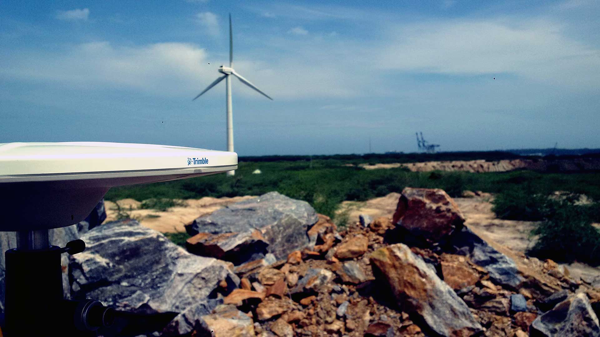
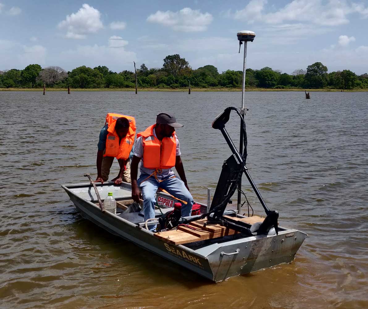
CTS Provides Engineering Consultancy services for Construction Projects. This includes conducting preliminary surveys, environmental and social impact assessments, initial estimation and design, bathymetric surveys, topographic surveys and construction services. In Addition, CTS provides design and estimate services for Irrigation projects.
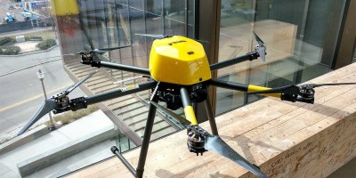
Drone Surveying
Using Unmanned Aerial Vehicles (UAV) for Surveying has driven modern surveying into the next era. It's relative cost-effectiveness and the capability to capture data with multiple sensors such as RGB, multispectral cameras, or LiDAR sensors has allowed surveyors to bring surveying into the 21st century. In addition, drones can capture data in hazardous, hard-to-reach places with unparallel detail and accuracy. CTS has been an early adapter and the pioneer in the Sri Lanka drone survey segment.
Monitoring
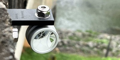
Structural and Geodetic monitoring is vital in keeping lives safe while increasing environmental well-being. CTS provides tailor-made manual and automated monitoring systems for projects depending on their client's needs. CTS uses modern geodetic and geotechnical instrumentation and software to monitor and study structures. In addition, CTS has established monitoring systems for structures with national importance.

GIS Related Services
Every industry in the modern-day world uses location-based data to communicate, perform analysis, share information and solve complex problems. CTS can develop, collect, and analyse spatial data with custom GIS solutions for any industry. GIS solutions and remote sensing data can elevate information and analysis for any enterprise with impeccable accuracy.
ISO 9001:2015 Certified Company
We have obtained the ISO 9001:2015 Quality standard certification for our quality management process. We are dedicated to providing the best quality service for all our local and overseas clients. We adhere to international business standards, ethics and best practices.

Our Vision
To be the professional most efficient consulting organization in the engineering sector.

Our Mission
To be an internationally recognized Consulting firm, maintaining optimum performance and accuracy in all aspects of construction phases through assigning the best professionals and the use of state of the art technology.
Our Goal
Our goal is to become a major engineering consultancy service provider in Sri Lanka while developing our business in other countries.
Our Clients


.jpg)


.jpg)
.jpg)


Our Professionals
Ruwan Dissanayake
Managing DirectorD.M. Thilakaratne
Chief SurveyorD.M.M.B Dissanayake
Registered Licensed SurveyorProf. Manjula Ranagalage
Geoinformatics ConsultantEng. M.V.G. Gunewardene
Consultant Charted Engineer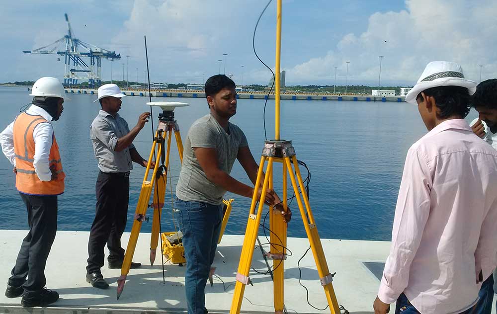
Are you interested in what we have to offer? Download our corporate brochure for more information
Download Brochure